U.S Maps
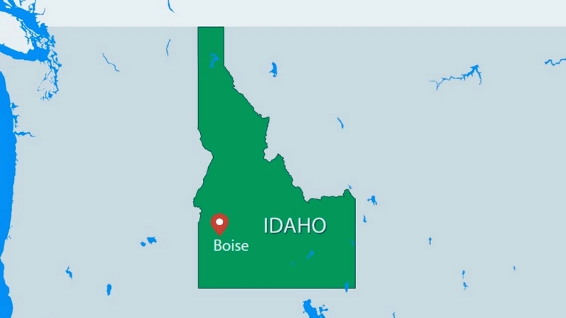
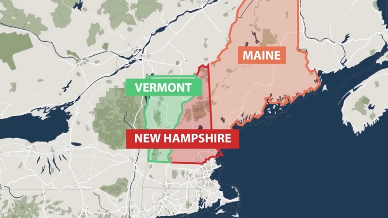
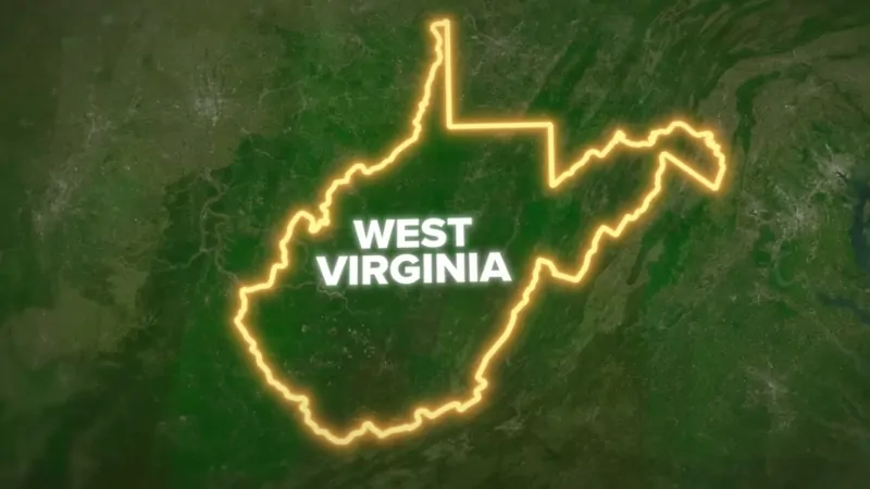
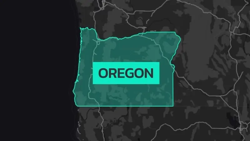
Our U.S. Maps section provides a comprehensive look at various map types across the United States, catering to readers seeking geographic and demographic insights. This collection includes detailed maps of states, cities, counties, and regions. Here, you’ll find interactive and static maps illustrating everything from population density and climate zones to economic activity and transportation networks. We aim to make U.S. data visually accessible, whether you’re interested in urban expansion, rural landscapes, or environmental regions.
Map of Philadelphia, Pennsylvania – Geography, Attractions & Stats (2025)
Robert McAllister
November 18, 2024
Read More »
Closer Look at New Jersey’s Population Data in 2025
Robert McAllister
November 15, 2024
Read More »
Map of Georgia – Cities, Geography, Counties & Stats (2025)
Robert McAllister
November 14, 2024
Read More »
Map of the City of Albany, New York – Geography, Attractions & Stats (2025)
Robert McAllister
November 13, 2024
Read More »
Map of Pennsylvania – Cities, Geography, Counties & Stats (2025)
Robert McAllister
November 13, 2024
Read More »
Map of New York City, New York – Geography, Attractions & Stats (2025)
Robert McAllister
November 12, 2024
Read More »
Map of State of New York – Cities, Geography, Counties & Stats (2025)
Robert McAllister
November 8, 2024
Read More »
Georgia’s Population in 2025 – Data-Driven Analysis
Robert McAllister
November 8, 2024
Read More »